Birmingham grew fast during the Industrial Revolution. Victorian factories, canals, and terraced housing spread over glacial till and river terrace deposits. That historical development means the soil profile under the city centre is layered, uneven, and often poorly documented. When we work on a seismic microzonation study in Birmingham, the first thing we do is cross-check old maps against current borehole logs. The ground can shift from stiff clay to loose sand within a block. That variability matters for earthquake shaking. We combine existing geotechnical records with field surveys to build a reliable ground model. For deeper profiling, we often pair the study with a [MASW survey](/masw-vs30/) to capture shear wave velocity directly. The goal is simple: give structural engineers a clear, defensible site class for each zone.
Glacial till masks softer layers underneath. Seismic microzonation reveals the hidden velocity contrasts that control shaking intensity.
Scope of work in Birmingham
- Shear wave velocity (Vs30) from surface wave surveys or borehole correlations
- Thickness of soft sediments over bedrock
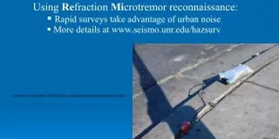
- Fundamental site frequency from ambient noise measurements
Live process video
Critical ground factors in Birmingham
Edgbaston and Digbeth sit on very different ground. Edgbaston has higher ground with stiff glacial till and lower amplification potential. Digbeth, on the old floodplain of the Rea, has deep alluvial deposits that can amplify shaking by a factor of two or more. That difference matters for retrofit design on Victorian buildings. A seismic microzonation study in Birmingham flags these contrasts zone by zone. Without it, you might over-design in one area and under-design in another. The risk is not just seismic damage — it is wasted foundation cost and uncertain safety margins.
Our services
We deliver the full seismic microzonation package in Birmingham. Each study is site-specific and code-compliant.
Vs30 profiling
MASW and ReMi surveys to map vs30/" data-interlink="1">shear wave velocity profiles across the site. Data processed to NEHRP standards.
Ambient noise array
HVSR and array measurements to define the fundamental site frequency and sediment thickness. Portable equipment, quick deployment.
Local soil database review
We compile and reinterpret existing borehole logs from BGS archives and private reports. Saves drilling costs.
Zonation mapping
GIS-based output showing zones of equal amplification potential. Delivered as shapefiles or PDF maps for design teams.
Q&A
What is seismic microzonation and why does Birmingham need it?
Seismic microzonation divides a city into zones based on how the ground amplifies earthquake shaking. Birmingham sits on variable glacial till and river terrace deposits. Soft alluvial pockets near the Rea and Tame valleys can amplify ground motion by up to a factor of two compared to stiff till areas. Without zonation, engineers cannot assign the correct design spectra under Eurocode 8.
How much does a seismic microzonation study in Birmingham cost?
The price range for a typical study is between £3.220 and £12.270. The final figure depends on site area, number of measurement points, and whether existing borehole data is available. We provide a fixed quote after reviewing the project scope.
What field measurements are used for microzonation in an urban setting?
We use non-intrusive methods that work in built-up areas: MASW surveys along streets, HVSR from a single station, and small-array ambient noise recordings. All equipment is portable and causes minimal disruption. We combine these with existing BGS borehole logs and any prior geotechnical data from the client.