Birmingham’s industrial past left a legacy of made ground and glacial till, but the city also sits on Triassic sandstone and Mercia Mudstone. The contrast between natural bedrock and deep superficial deposits creates a strong impedance contrast, ideal for MASW surveys. In our experience, the shear wave velocity profile (VS30) is essential for classifying site class per NEHRP and Eurocode 8, especially when new developments push into former railway lands or canal-side brownfields. Combining MASW with a georradar GPR survey helps map buried foundations before the seismic array is laid out. The method requires a clear geophone spread of 30-50 m, and the soft alluvium in the River Tame valley often gives VS30 values below 250 m/s, placing sites in Class D or E.
Birmingham’s VS30 ranges from 180 m/s in the alluvial valleys to over 500 m/s on the sandstone ridges, directly controlling seismic amplification.
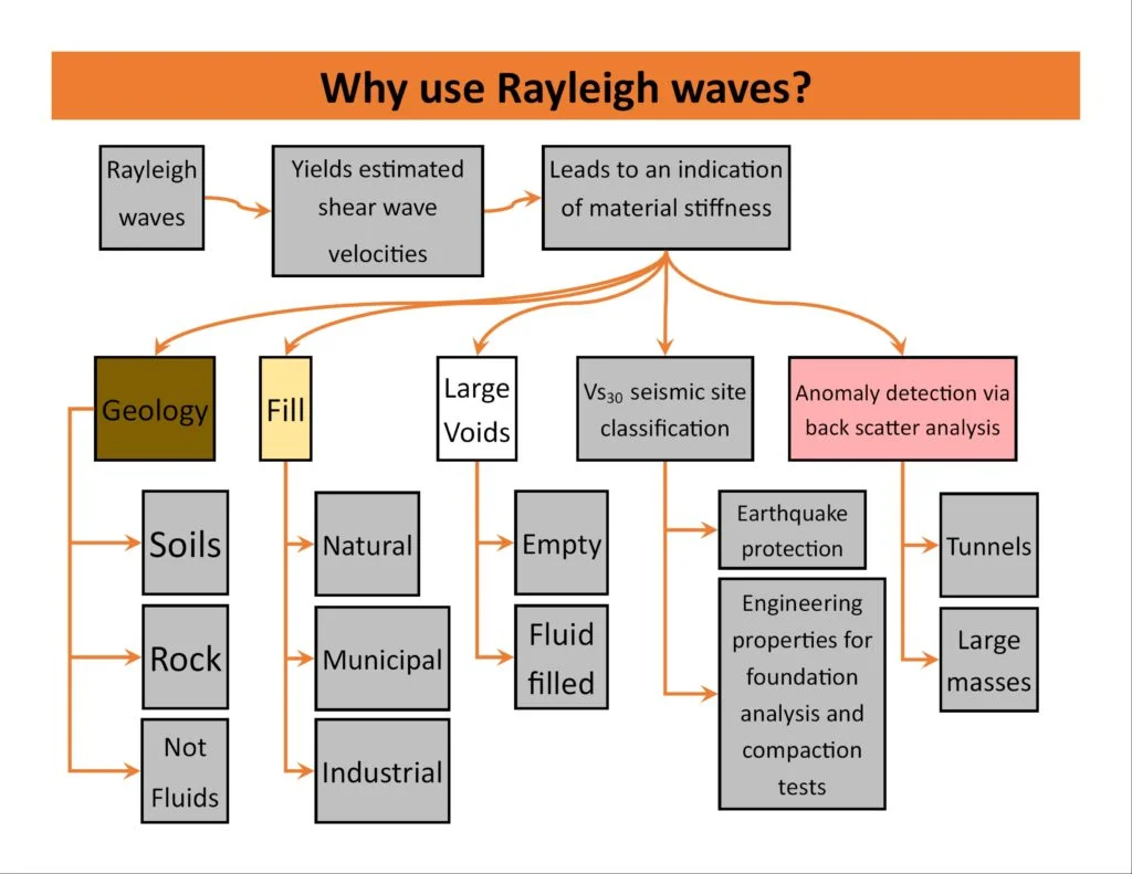
Scope of work in Birmingham
Critical ground factors in Birmingham
Birmingham expanded rapidly during the 19th-century Industrial Revolution, with factories, canals, and railways built directly on variable made ground. Many structures from that era lack any seismic consideration. Today’s redevelopment of those sites — particularly around Digbeth, the Jewellery Quarter, and the former Longbridge car plant — requires a clear understanding of the VS30 to avoid excessive seismic demand. The risk is that a uniform soil profile is assumed, while the actual shear wave velocity jumps from 180 to 400 m/s across a single street. A MASW survey captures that lateral change and prevents over‑conservative or unsafe design. For high-rise residential towers near the city centre, Eurocode 8 (BS EN 1998-1) mandates a site-specific VS30 value.
Our services
MASW surveys in Birmingham are delivered as a standalone service or integrated into a broader ground investigation. Each survey includes field acquisition, dispersion curve analysis, inversion, and a report with VS30 and site class.
Standard MASW Survey (30 m array)
24-channel geophone spread, sledgehammer source, inversion to 1D VS profile. Suitable for most brownfield and greenfield sites in Birmingham. Delivers VS30 and NEHRP site class within 5 working days.
Extended MASW Survey (60 m array)
48-channel array for deeper profiling. Recommended for sites with thick superficial deposits (>20 m) such as the River Tame floodplain. Resolves VS profile down to 40-50 m depth.
MASW + HVSR Combined Survey
Simultaneous microtremor measurement and active MASW. The HVSR curve constrains the inversion and confirms the fundamental frequency. Ideal for high-rise or sensitive structures where modal response is critical.
Q&A
How much does a MASW/VS30 survey cost in Birmingham?
A standard MASW survey with a 30 m array and full inversion report typically costs between £1,410 and £2,840, depending on site access, array length, and reporting detail. Extended surveys or combined HVSR work fall at the upper end.
What VS30 values are typical for Birmingham soils?
Triassic sandstone in Edgbaston and Harborne yields VS30 > 400 m/s (Class B). Glacial till and river terrace deposits in the city centre give 250-350 m/s (Class C). Soft alluvium in the Tame valley drops below 200 m/s (Class D). Made ground can be highly variable.
Is MASW accepted by building control in Birmingham?
Yes. MASW is recognised under Eurocode 8 and the UK Building Regulations when performed to BS 1377. The final report must include the dispersion curve, inversion residuals, and a clear statement of VS30 and site class. Our laboratory holds UKAS accreditation (ISO 17025) for this procedure.
Can MASW be done on a small brownfield site in the city?
Yes, as long as a 30 m clear line is available for the geophone spread. In cramped urban sites like the Jewellery Quarter, we use a 24-channel system with 1 m spacing to fit within narrow corridors. Buried services are located with GPR before hammer impacts.