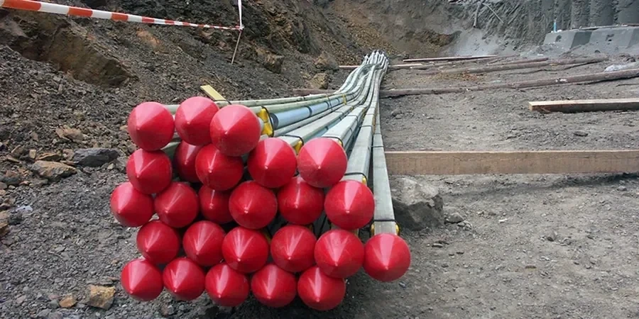
Birmingham’s geophysics surveys address the complex ground conditions shaped by the city’s industrial past and underlying Triassic sandstones, mudstones, and Quaternary drift deposits up to 20m thick. We use non-intrusive methods to locate buried mine workings, assess natural cavities, and map fill thickness before design. Our GPR survey is often the first choice for concrete scanning and shallow utility detection, while MASW / VS30 testing delivers the shear-wave velocity profiles required for seismic site classification under Eurocode 8 and UK-specific guidance.
These techniques support foundation design, due diligence, and brownfield redevelopment across the West Midlands. For deep basement excavations or tunnel studies, we combine seismic tomography with other datasets to image rockhead and fault zones. The outputs directly inform ground models for planning submissions and comply with BS 5930 and the Second-generation Eurocode 7 framework, giving engineers reliable data for risk management in Birmingham’s variable ground.
Anchor bond length in Mercia Mudstone can vary by a factor of two depending on weathering grade. Design must reflect local variability.
Scope of work in Birmingham
- Undrained shear strength for temporary passive anchors in cohesive soils.
- Friction angle and interface roughness for permanent active anchors in mudstone.
- Corrosion potential and groundwater aggressiveness per BS EN 1997-1:2004.
Live process video
Critical ground factors in Birmingham
A common mistake in Birmingham is assuming that all glacial till behaves like a dense granular soil. In reality, the local till often contains lenses of soft clay or silt that reduce side friction drastically. If a passive anchor relies on full bond along the entire length, those weak lenses can cause creep and long-term displacement. We have seen retaining walls shift several centimeters because the anchor design did not account for these thin, low-strength layers. A rigorous site investigation with continuous sampling is the only way to catch them before construction.
Our services
We offer two complementary anchor design services tailored to Birmingham's ground conditions.
Active Anchor Design
For permanent tie-backs and slope stabilization. We calculate tendon loads, bond lengths, and lock-off loads using factored soil parameters from site-specific testing. Corrosion protection and long-term creep are evaluated per BS EN 1537.
Passive Anchor Design
For temporary excavation support and foundation restraint. Design focuses on ultimate bond stress in cohesive soils and short-term pullout capacity. We verify assumptions with field pull-out tests before full installation.
Geophysics in Birmingham provides a non-intrusive method for mapping subsurface conditions across the West Midlands, a region underlain by a complex sequence of Triassic sandstones, Mercia Mudstone, and glacial drift deposits. A robust geophysical survey is often the first critical step in a targeted ground investigation, designed to de-risk projects by identifying buried obstructions, variable rockhead profiles, and potential dissolution features associated with the underlying mudstone before any physical intrusion takes place. This approach is particularly relevant given Birmingham’s industrial legacy, where made ground and mine workings can present significant hazards, and must be characterised in accordance with BS 5930:2015+A1:2020 to ensure compliance with local planning authority requirements.
Our geophysical methodologies strictly adhere to UK standards, including BS 5930 for the code of practice for ground investigations and relevant Eurocode 7 parts for geotechnical design. We utilise a multi-technique approach, frequently employing Electrical Resistivity Tomography (ERT) to delineate water-bearing fractures in sandstone aquifers or Ground Penetrating Radar (GPR) for high-resolution concrete scanning and utility mapping on brownfield sites. The geophysical data provides a continuous profile that bridges the information gap between discrete intrusive testing points, such as Standard Penetration Tests (SPT) or Cone Penetration Tests (CPT), allowing for a more accurate geological model. For near-surface characterisation, these surveys are often directly calibrated by exploratory test pits, validating the geophysical signatures against logged soil and rock exposures to satisfy the rigorous verification protocols demanded by UK regulatory bodies.
Typical projects in Birmingham city centre and surrounding areas like Edgbaston or Digbeth demand a hybrid assessment strategy where geophysics is integrated with direct In-Situ to navigate logistics constraints. For high-rise developments on the sandstone ridge, ERT profiles are invaluable for targeting subsequent rotary boreholes to confirm founding strata, while on large infrastructure schemes through the Mercia Mudstone, seismic refraction helps predict rippability and excavation volumes. On former industrial plots, we combine electromagnetic surveys with targeted intrusive sampling to delineate contamination plumes, ensuring the safe design of remediation strategies without triggering unnecessary disturbance of hazardous materials, thereby maintaining a clear focus on CDM 2015 safety obligations.
The process delivers a comprehensive factual report containing georeferenced radargrams, resistivity tomograms, and a clear interpretive narrative that correlates geophysical anomalies with the known geological and anthropogenic environment. This final deliverable synthesises the non-intrusive data with any subsequent intrusive findings, providing engineers with a single, unified ground model. The primary value lies in the strategic reduction of exploratory drilling locations, lowering costs and site disruption while significantly mitigating the risk of unforeseen ground conditions that could otherwise lead to costly project delays and foundation redesigns in Birmingham’s challenging urban geology.